
Unfenced
Land for sale that actually borders public land
About Unfenced
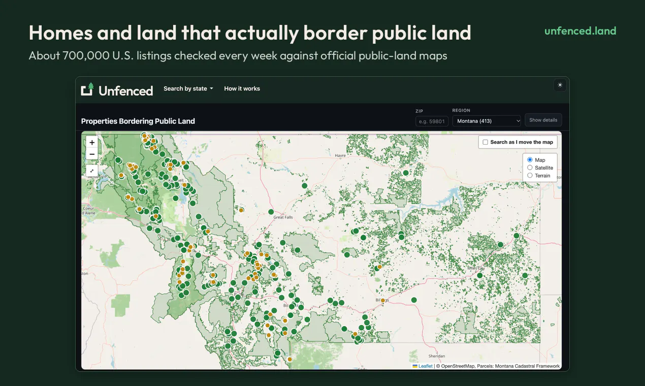
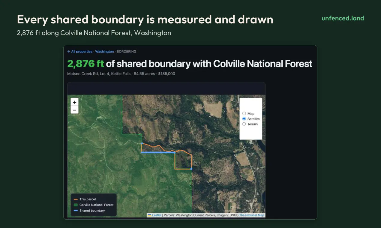
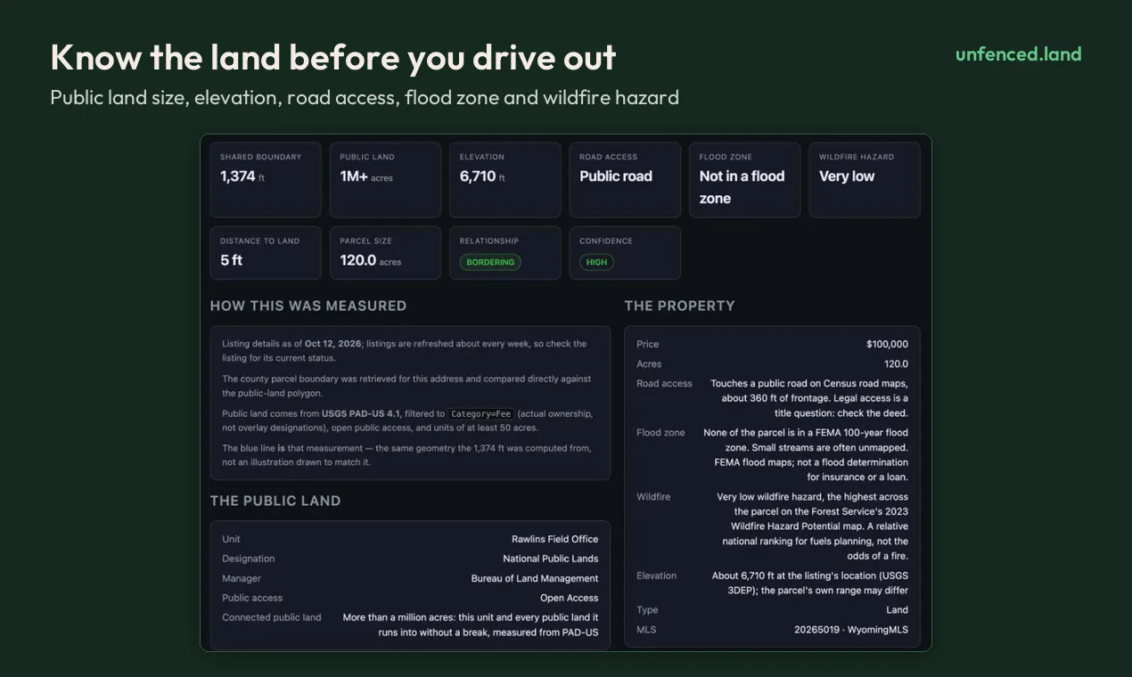
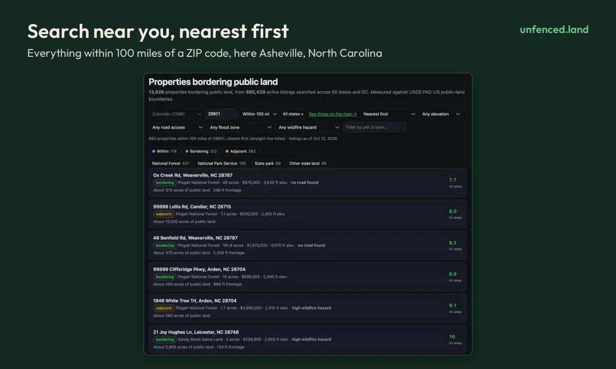
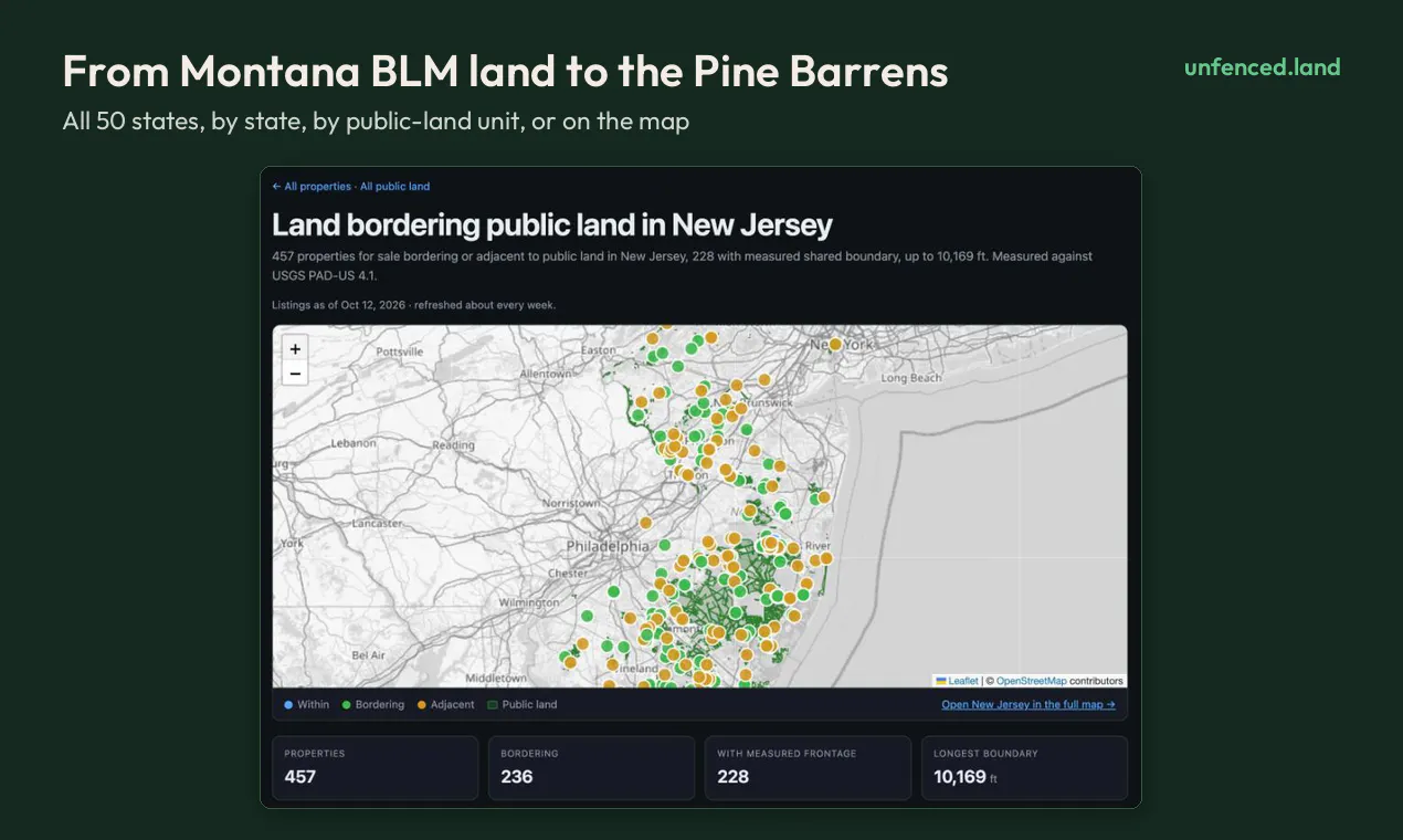
Unfenced is a powerful mapping tool designed for those interested in land and property boundaries in the United States. It uniquely verifies whether land parcels or homes actually border public lands such as national forests, BLM land, or state reserves, by analyzing approximately 700,000 listings weekly against official public land maps. The platform provides detailed measurements of shared edges in feet, along with insights into how much public land is behind each property, as well as additional data like elevation, road access, flood zones, and wildfire hazards. Its user-friendly interface allows users to search by ZIP code or state without the need for an account, making it accessible for a wide range of users from prospective land buyers to outdoor enthusiasts and land planners. What sets Unfenced apart is its focus on precise boundary verification, helping users make informed decisions about land proximity to public lands, a feature highly valued in outdoor recreation and land investment communities.
Screenshots
Pros
- ✓Accurately verifies if properties border public land with detailed boundary measurements
- ✓Large dataset covering ~700,000 listings weekly for comprehensive analysis
- ✓Provides valuable contextual data such as elevation, road access, flood zones, and wildfire risk
- ✓No account required and free to use, enhancing accessibility and ease of use
Cons
- ✗Limited to U.S. listings, not applicable internationally
- ✗Focuses primarily on boundary verification, may lack advanced mapping or property management features
- ✗User interface details and additional functionalities are not specified
Use Cases
Pricing
Pricing not verified

Similar Tools in AI Assistants




Embed Badge
Add this badge to your website to show that Unfenced is featured on Visalytica.
<a href="https://www.visalytica.com/tool/unfenced" target="_blank" rel="noopener noreferrer" style="display:inline-flex;align-items:center;gap:6px;padding:6px 14px;background:#7c3aed;color:#fff;border-radius:8px;font-family:-apple-system,system-ui,sans-serif;font-size:13px;font-weight:600;text-decoration:none;transition:background .2s" onmouseover="this.style.background='#6d28d9'" onmouseout="this.style.background='#7c3aed'"><svg width="14" height="14" viewBox="0 0 24 24" fill="none" stroke="currentColor" stroke-width="2.5" stroke-linecap="round" stroke-linejoin="round"><path d="M12 20V10"/><path d="M18 20V4"/><path d="M6 20v-4"/></svg>Featured on Visalytica</a>