
PangeAI
Instant, agent-driven spatial analysis and decision-making
About PangeAI
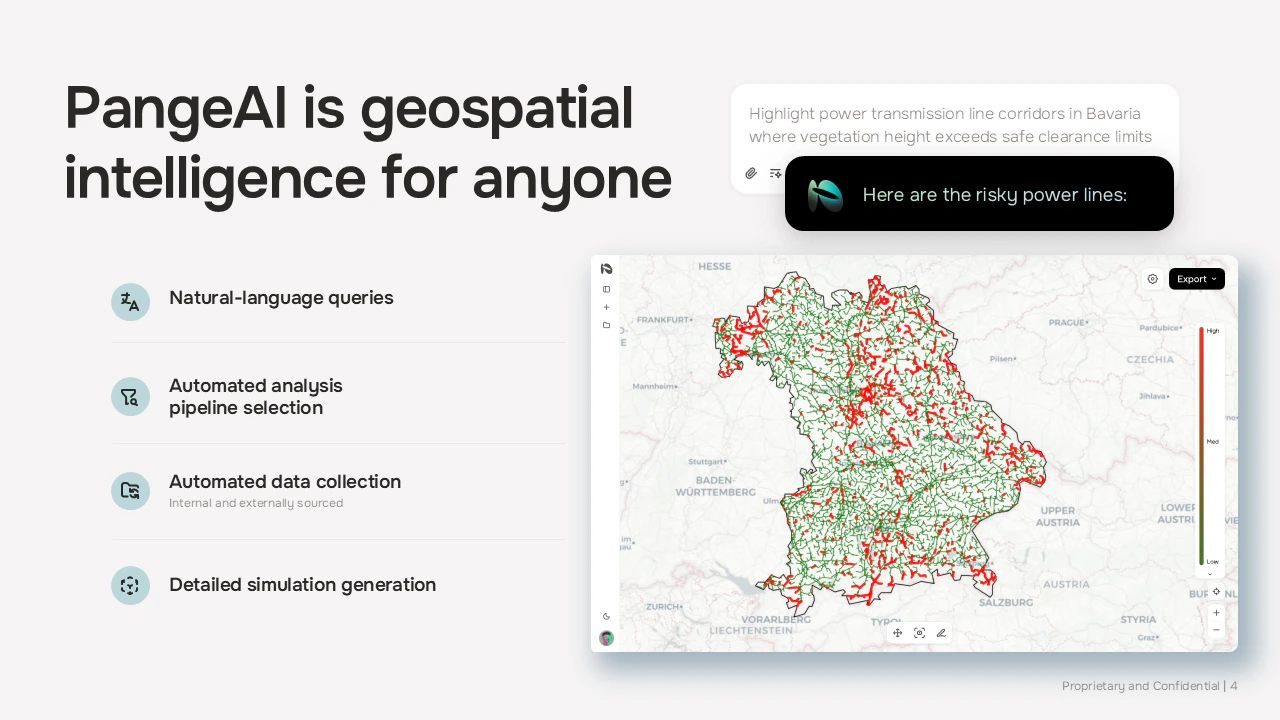
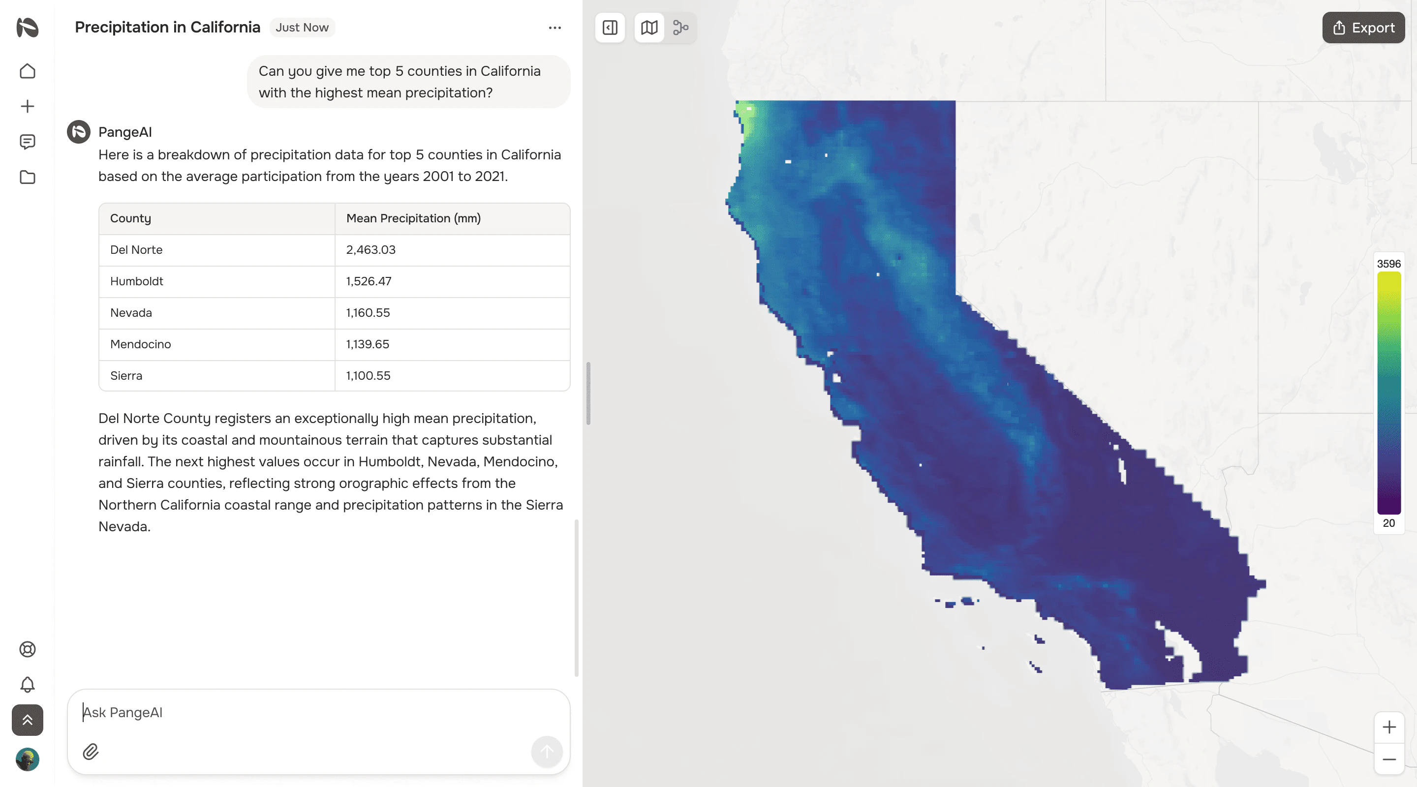
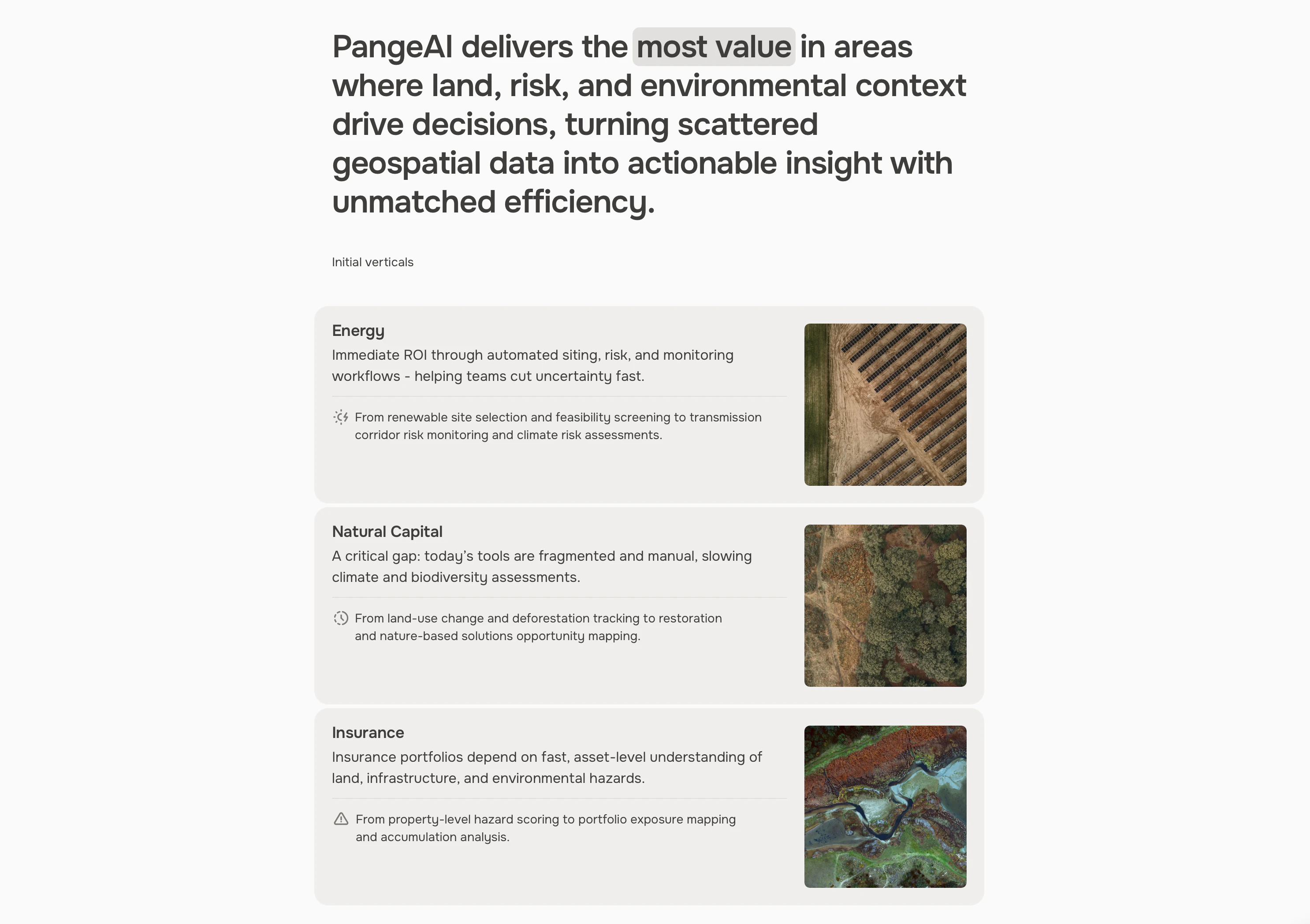
PangeAI is an innovative geospatial analysis platform that leverages AI to provide instant, agent-driven insights into complex spatial data. Designed for professionals who need quick answers without the overhead of traditional GIS teams, it integrates satellite imagery, vector geometries, and coordinate systems into a user-friendly interface. By acting as an agentic layer over physical-world data, PangeAI enables users to ask specific questions—such as identifying sites that flooded last month—and receive rapid, accurate responses within minutes. Its seamless integration of AI and geospatial data makes it ideal for decision-makers across industries like environmental monitoring, urban planning, and disaster response. Built between Silicon Valley and Europe, the platform aims to democratize access to advanced spatial analysis, reducing reliance on specialized GIS knowledge and significantly accelerating operational workflows.
Screenshots
+2 more screenshots
Pros
- ✓Instant, agent-driven spatial analysis reduces decision-making time from weeks to minutes
- ✓User-friendly interface eliminates need for a dedicated GIS team
- ✓Supports various geospatial data types including satellite imagery and vector data
- ✓Built-in AI capabilities enable complex queries and insights
- ✓Cross-continental development fosters innovation and robust features
Cons
- ✗Limited visibility and user adoption may suggest a nascent product with evolving features
- ✗Pricing details are not explicitly provided, potentially making budgeting difficult
- ✗May require some familiarity with geospatial concepts for advanced queries
Use Cases
Pricing
Likely follows a SaaS subscription model with tiered plans based on data volume and feature access. Specific pricing details are not publicly available, but the platform probably offers a free trial or demo to showcase capabilities.
Quick Info
Topics
Alternatives
Similar Tools in AI Assistants
Embed Badge
Add this badge to your website to show that PangeAI is featured on Visalytica.
<a href="https://www.visalytica.com/tool/pangeai" target="_blank" rel="noopener noreferrer" style="display:inline-flex;align-items:center;gap:6px;padding:6px 14px;background:#7c3aed;color:#fff;border-radius:8px;font-family:-apple-system,system-ui,sans-serif;font-size:13px;font-weight:600;text-decoration:none;transition:background .2s" onmouseover="this.style.background='#6d28d9'" onmouseout="this.style.background='#7c3aed'"><svg width="14" height="14" viewBox="0 0 24 24" fill="none" stroke="currentColor" stroke-width="2.5" stroke-linecap="round" stroke-linejoin="round"><path d="M12 20V10"/><path d="M18 20V4"/><path d="M6 20v-4"/></svg>Featured on Visalytica</a>