
EyeOnBlue
Remote sensing and AI from space
About EyeOnBlue
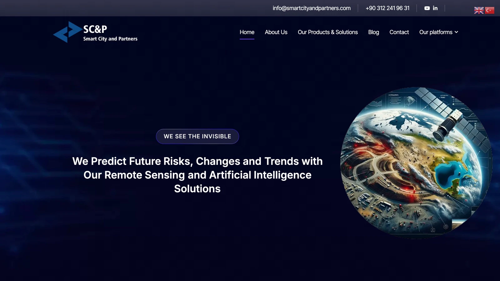
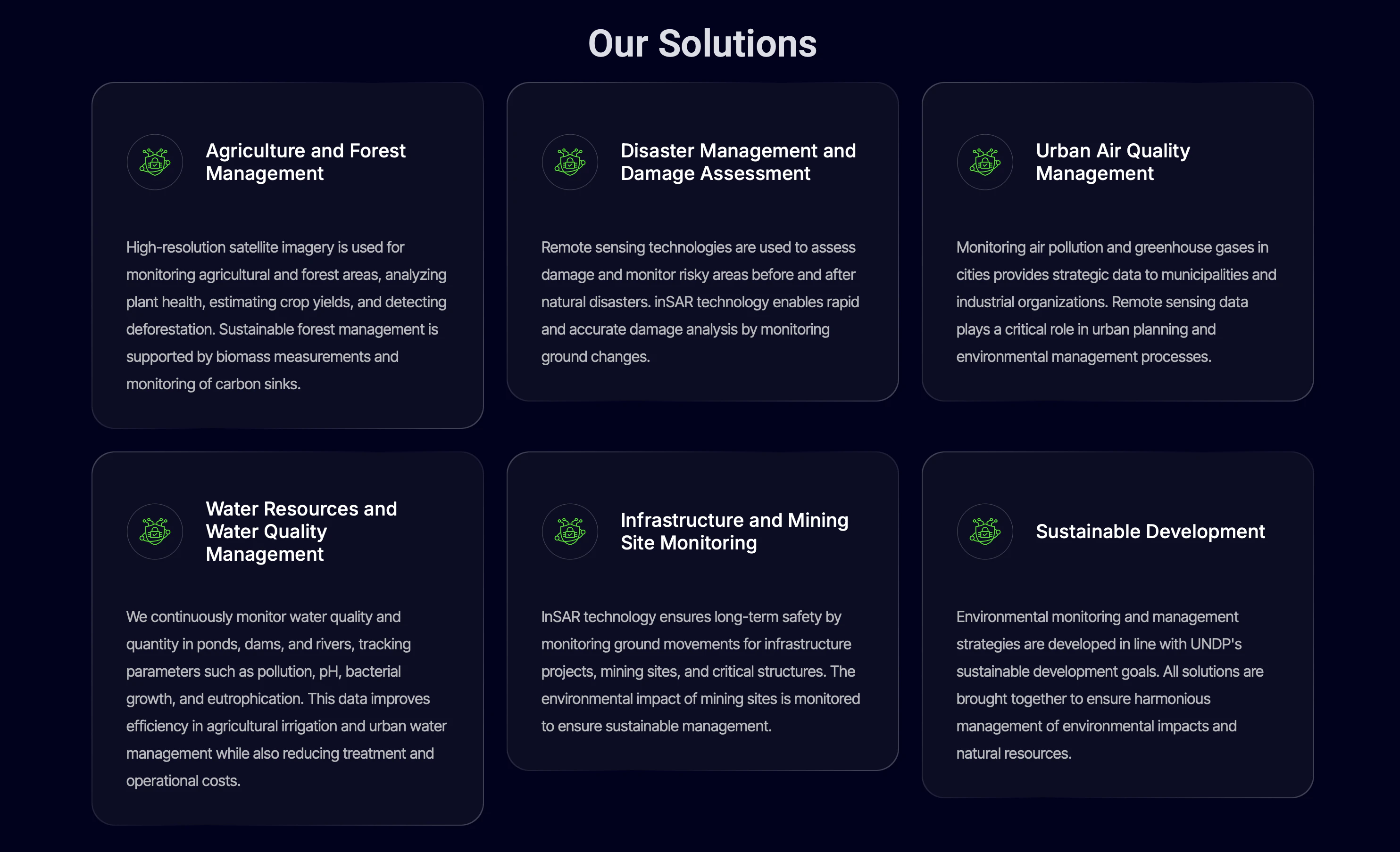
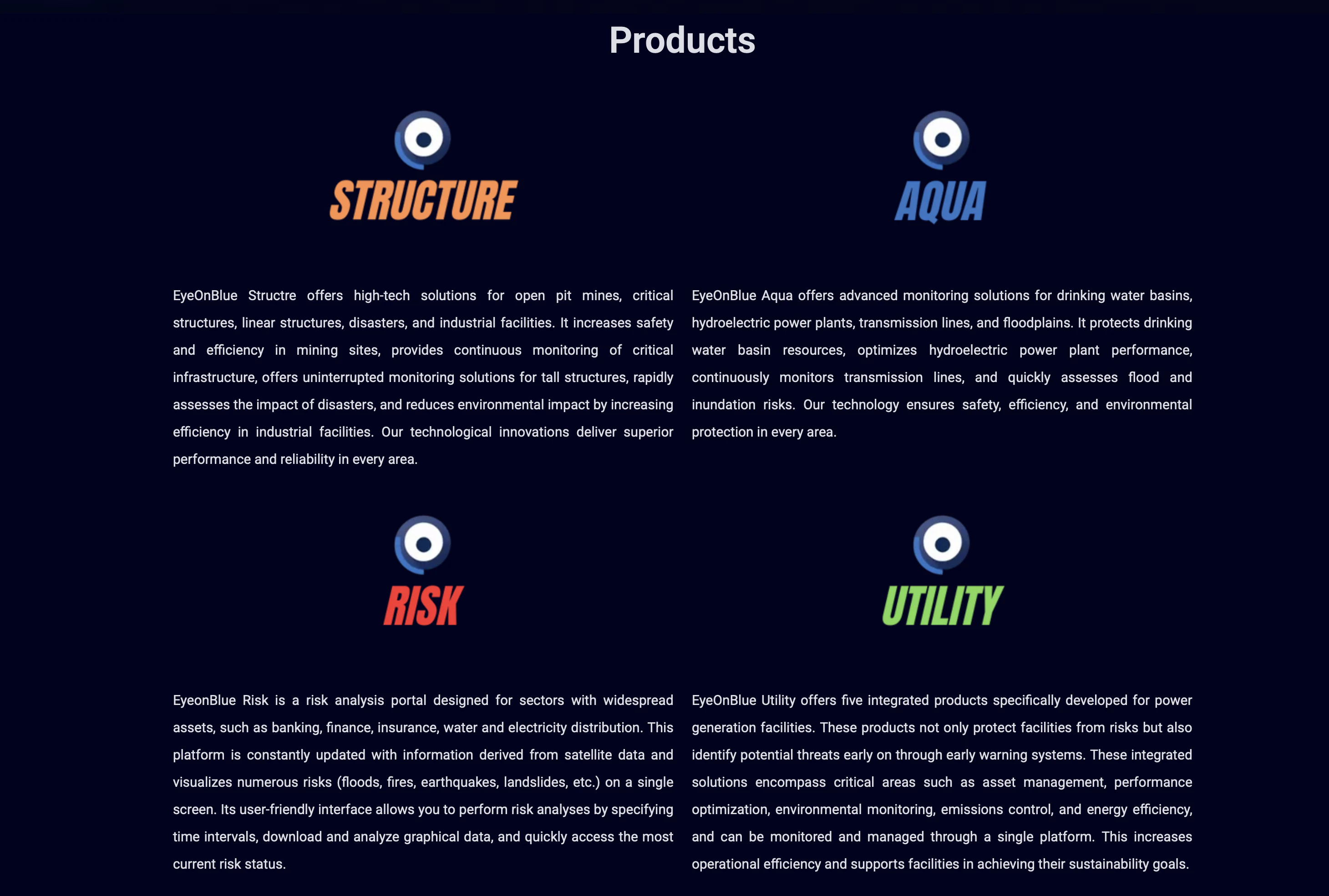
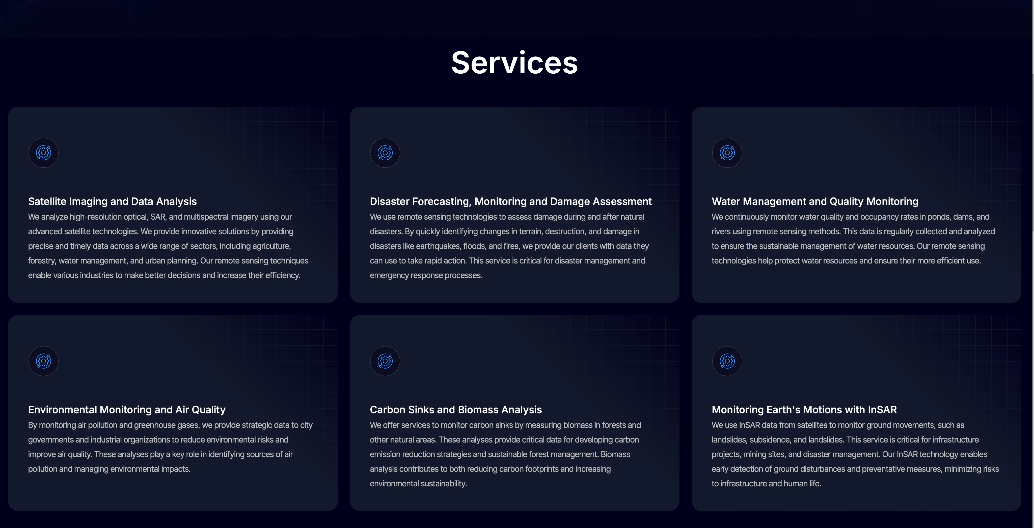
EyeOnBlue is an innovative satellite imagery and AI platform designed for comprehensive environmental monitoring, disaster prediction, and infrastructure risk assessment. Leveraging advanced remote sensing techniques such as InSAR ground movement analysis and water, air, and biomass evaluations, it provides users with critical insights into Earth's dynamic processes. Suitable for environmental agencies, urban planners, disaster response teams, and researchers, EyeOnBlue offers real-time data and sophisticated analytics that enhance decision-making and risk management. Its unique integration of satellite data with AI-driven analysis sets it apart, enabling more accurate predictions of natural events and infrastructure vulnerabilities. By providing a scalable and precise view from space, EyeOnBlue empowers stakeholders to act proactively and sustainably in managing environmental challenges.
Screenshots
Pros
- ✓Utilizes advanced satellite data including InSAR for precise ground movement detection
- ✓Integrates AI for comprehensive environmental analysis
- ✓Supports disaster prediction and infrastructure risk assessment
- ✓Offers real-time insights for proactive decision-making
- ✓Applicable across various sectors like environmental monitoring and urban planning
Cons
- ✗Potentially high cost for extensive data usage and analysis
- ✗Requires technical expertise to interpret complex satellite data
- ✗Limited information on user interface and ease of integration
Use Cases
Pricing
Likely operates on a custom enterprise pricing model, possibly with tiered plans based on data volume and analysis features. Details are not explicitly available, but it may include subscription or usage-based pricing.
Quick Info
Topics
Alternatives
Similar Tools in AI Assistants
Embed Badge
Add this badge to your website to show that EyeOnBlue is featured on Visalytica.
<a href="https://www.visalytica.com/tool/eyeonblue" target="_blank" rel="noopener noreferrer" style="display:inline-flex;align-items:center;gap:6px;padding:6px 14px;background:#7c3aed;color:#fff;border-radius:8px;font-family:-apple-system,system-ui,sans-serif;font-size:13px;font-weight:600;text-decoration:none;transition:background .2s" onmouseover="this.style.background='#6d28d9'" onmouseout="this.style.background='#7c3aed'"><svg width="14" height="14" viewBox="0 0 24 24" fill="none" stroke="currentColor" stroke-width="2.5" stroke-linecap="round" stroke-linejoin="round"><path d="M12 20V10"/><path d="M18 20V4"/><path d="M6 20v-4"/></svg>Featured on Visalytica</a>